WHO WE ARE

Trusted. Experienced. Indigenous.


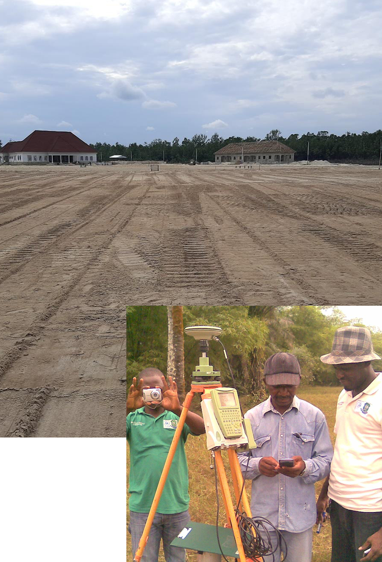
For over two decades, Waylink International Services Ltd. has been a trusted name in surveying, mapping, and engineering consultancy services. Headquartered in Port Harcourt, we combine local expertise with global standards to deliver accurate, efficient, and reliable geospatial solutions for infrastructure, energy, environmental, and marine sectors.

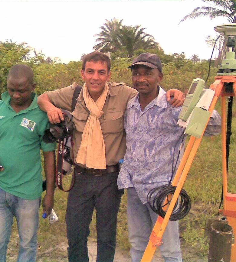
Our multidisciplinary team of surveyors, engineers, GIS analysts, and environmental specialists ensures that every project, from seabed mapping to land development, is executed with precision, innovation, and integrity.


Our Core Services

We provide a comprehensive range of geospatial and engineering services designed to support planning, construction, exploration, and environmental management.


]

Offshore Navigation & Positioning

Guiding offshore vessels, rigs, and structures using satellite-based GPS/GNSS systems for accurate positioning and safe operations.


Hydrographic Mapping

Capturing detailed seabed topography and underwater features is essential for offshore engineering, dredging, and navigation.


Oil Field Survey

Supporting exploration, drilling, and production with accurate land and swamp-based survey data for oil and gas operations.


Control Extension

Establishing precise geodetic control networks is critical for construction and infrastructure alignment.

Engineering Survey

Delivering accurate data for roads, bridges, and pipeline projects, from setting out to deformation monitoring.


Topographic Survey

Mapping terrain and elevation for design, reclamation, and project planning.


GIS Mapping

Transforming spatial data into actionable insights for planning, asset management, and decision-making.


Consultancy Services

Providing expert guidance in surveying, project management, and geospatial analysis.


Why Choose Waylink?


At Waylink, precision is powered by technology. Our fleet of advanced equipment allows us to capture and analyse data with unmatched accuracy. Whether onshore or offshore, we bring the right tools and expertise to every project..


CONTACT US


OUR STRATEGY

Delivering Results, Building Trust


Experienced and qualified professionals

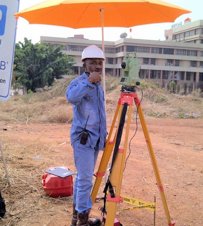
Cutting-edge surveying and mapping technologies

Commitment to quality and timely delivery

Deep understanding of local terrain and regulations

Cost-effective, client-focused solutions


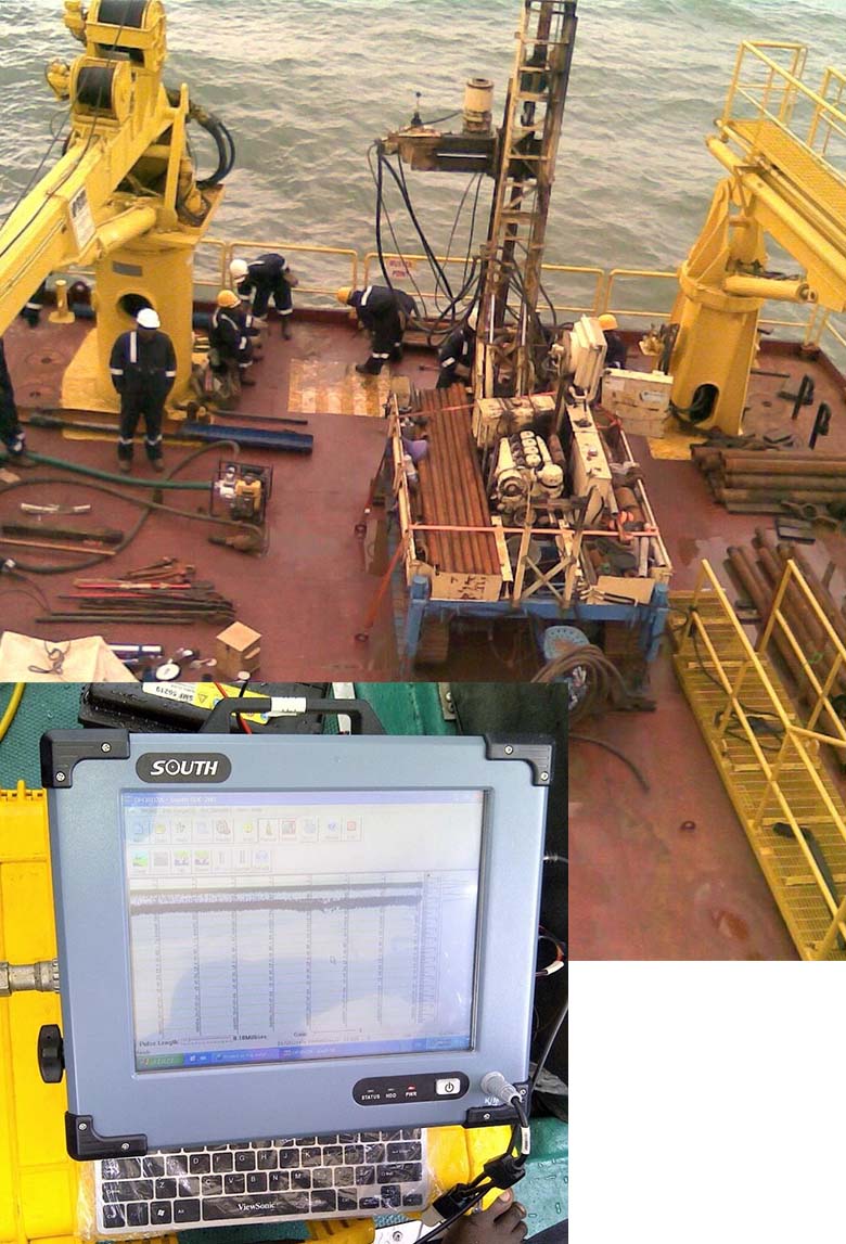
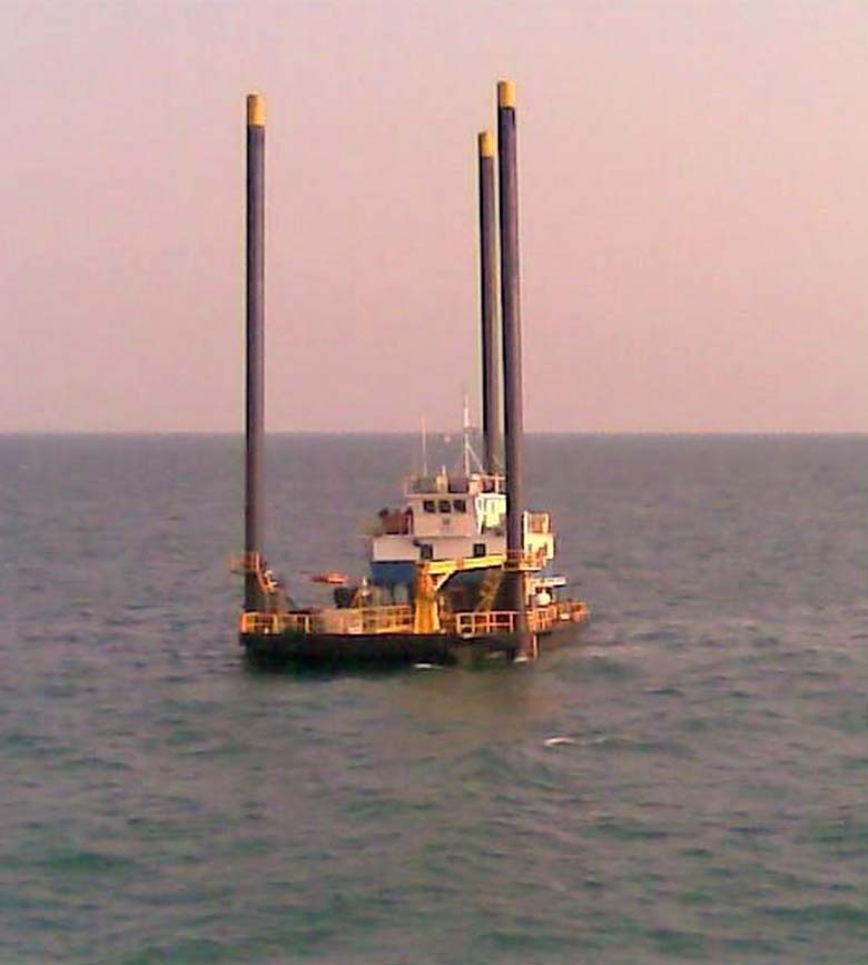
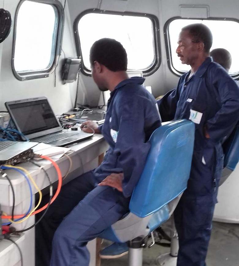
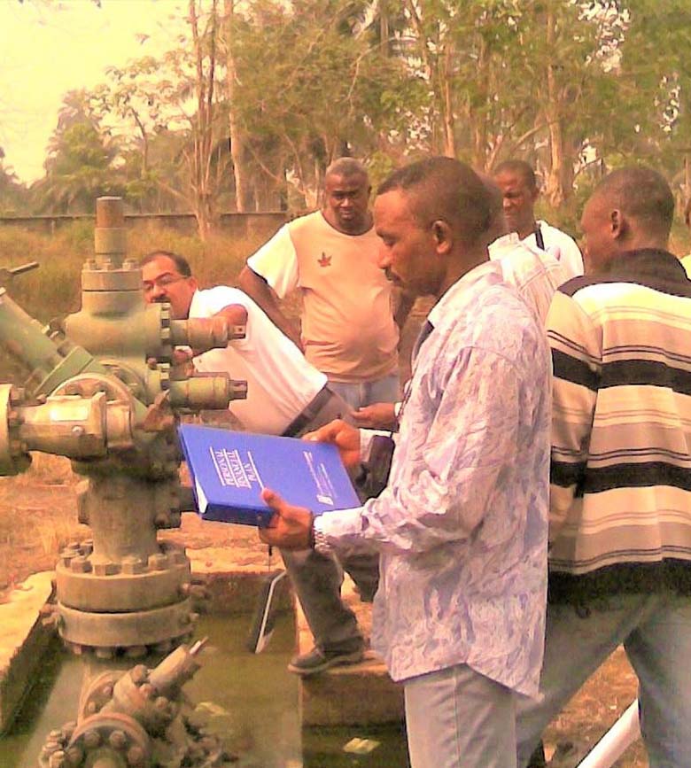
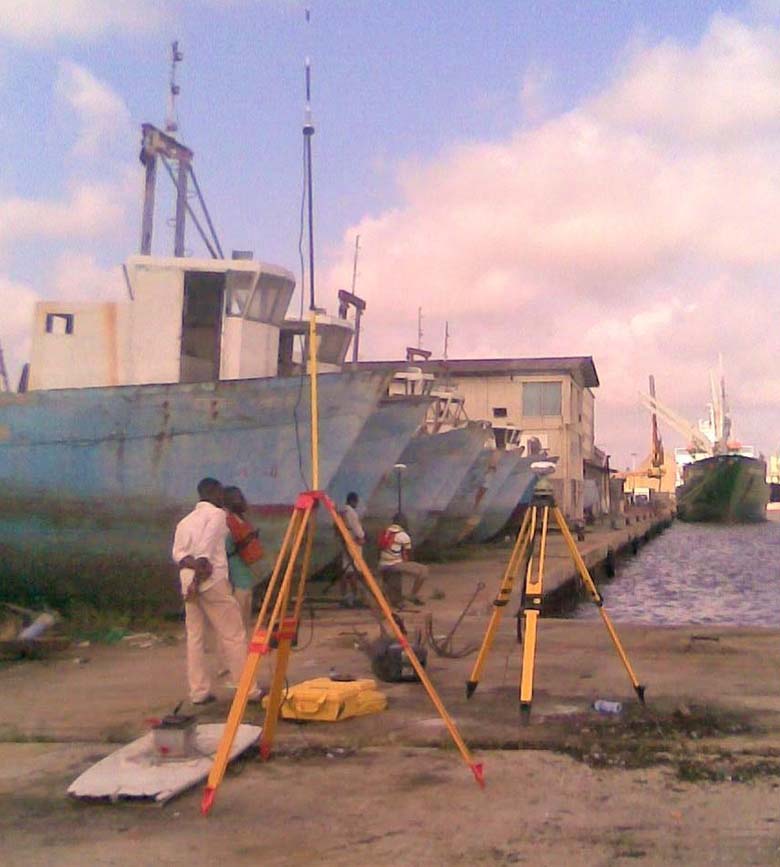
From offshore navigation and positioning, hydrographic mapping, engineering survey to project monitoring, supervision and confirmation, our portfolio demonstrates the consistency and capability that define Waylink.

Our work is guided by internationally recognised standards, ISO-based Quality Management Systems and robust Health, Safety & Environmental (HSE) policies that protect people, assets, and the environment.

Let’s Build Something Precise

We’re ready to support your next project with reliable, data-driven solutions that meet global standards and local realities.

+234 (0) 803 772 0524

+234 (0) 802 314 0668


SEND US A MESSAGE