What We
Do
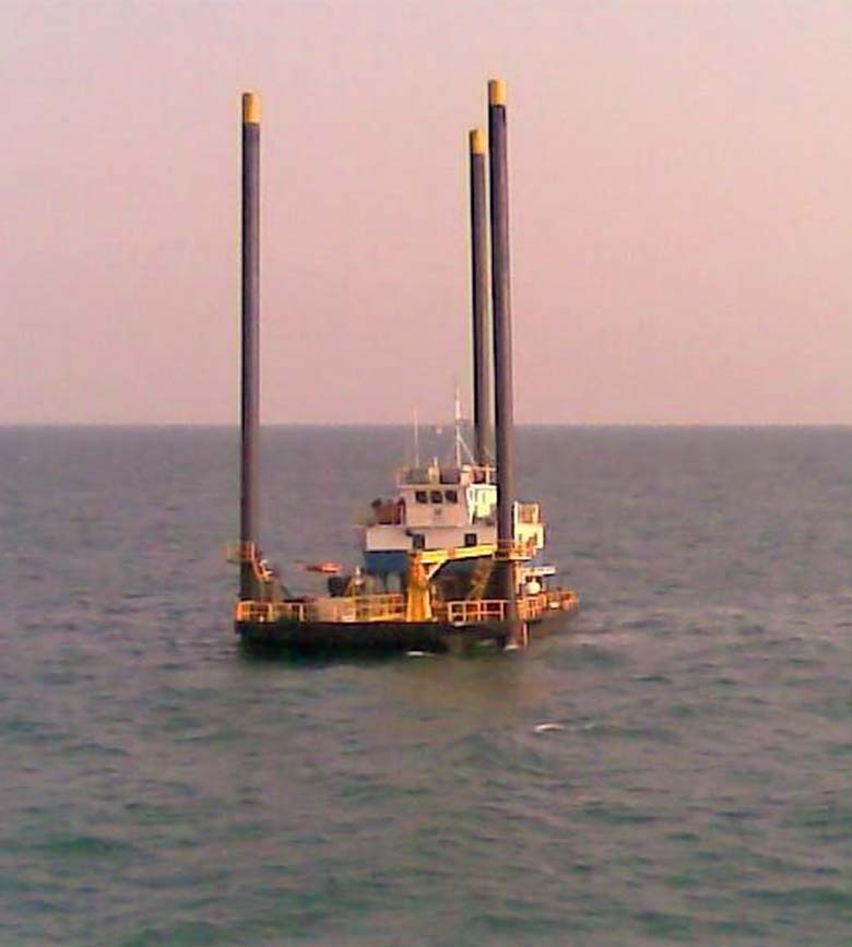
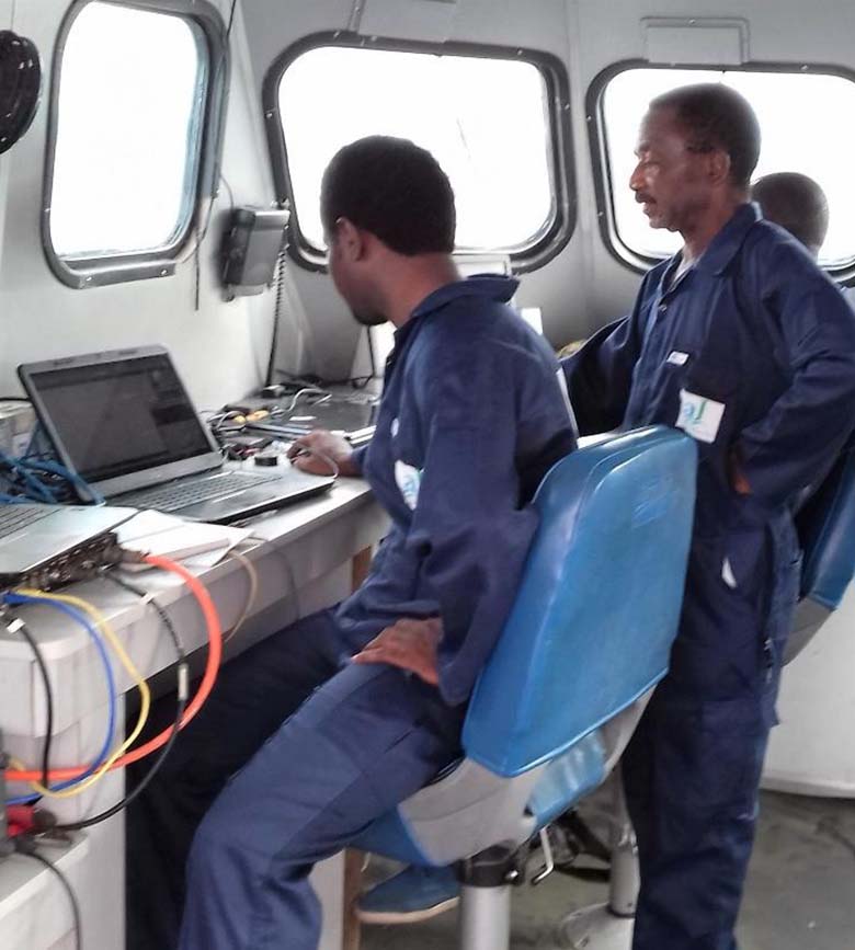
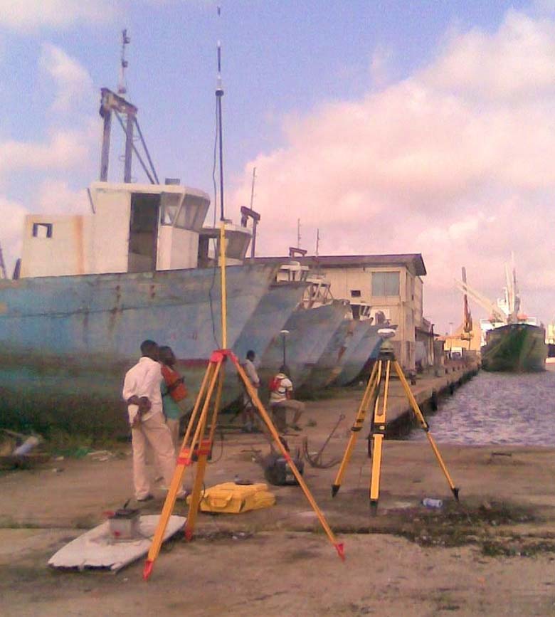
Offshore Navigation & Positioning
We provide advanced offshore navigation and positioning services that ensure the safe and accurate guidance of vessels, rigs, and subsea structures. Using state-of-the-art GPS/GNSS systems and real-time positioning tools, we support activities such as drilling, construction, and cable or pipeline laying, even in complex marine environments.
Applications: Platform positioning, vessel guidance, subsea equipment alignment.
Hydrographic Mapping
Our hydrographic mapping services reveal the underwater world with remarkable detail. We capture and analyse seabed topography, depth, and composition, delivering essential data for offshore engineering, dredging, navigation, and environmental studies.
Capabilities include: Multibeam bathymetry, geohazard mapping, drill site surveys, current and salinity measurements, and dredging support.
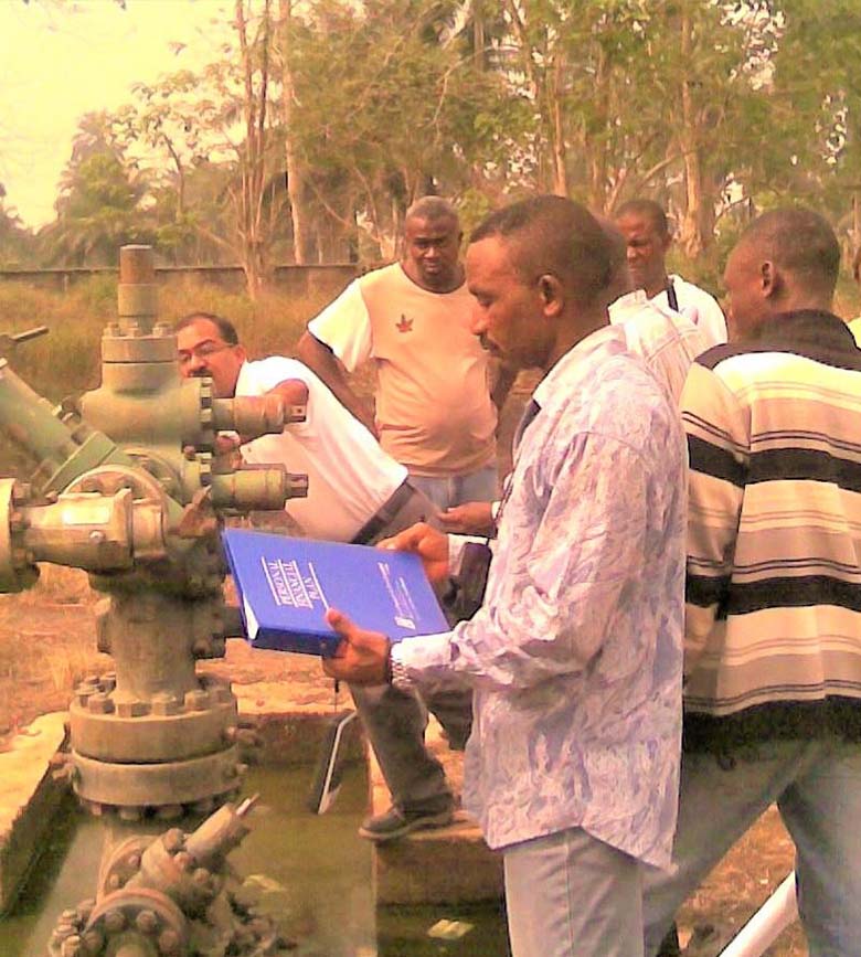
Oil Field Survey
Waylink supports oil and gas exploration and production with high-precision surveying across land and swamp terrains. Our surveys ensure safety, accuracy, and compliance in all phases, from preliminary investigation to as-built documentation.
Our expertise covers: Well and rig positioning, boundary retracing, pollution and blockade surveys, and pipeline alignment.
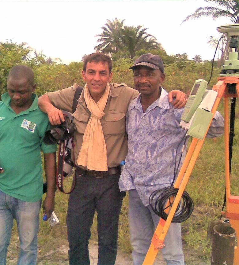
Control Extension
Accurate control networks are the foundation of every successful engineering or mapping project. Waylink specialises in Control Extension, establishing and expanding geodetic networks that provide consistent reference points for all stages of surveying, design, and construction.
Our control frameworks ensure long-term consistency, precision, and stability, vital for multi-phase development projects.
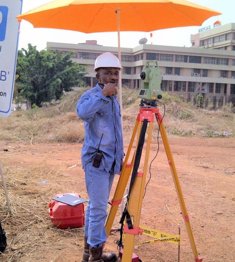
Engineering Survey
We provide engineering surveys that guide the planning, design, and construction of roads, bridges, industrial facilities, and utility infrastructure. Our team delivers data that informs every stage of development, from initial route surveys to setting out alignments and conducting deformation monitoring.
Specialities include: Pipeline surveys, transmission line mapping, road design surveys, and structural deformation analysis.
Topographic Survey
Understanding the lay of the land is essential for every engineering and design project. Waylink’s topographic surveys produce detailed representations of surface and subsurface features, enabling accurate design, planning, and volume calculation.
We also provide quantity determination for reclamation and dredging projects, helping clients manage cost and material logistics effectively.

GIS Mapping
Data means little without context; that’s where GIS Mapping comes in. Waylink turns spatial data into powerful digital maps that help clients plan, analyse, and manage assets more intelligently.
Services include: Base map production, street guide development, digital map compilation, and data digitisation. Our GIS solutions improve asset management, planning, and operations across sectors.
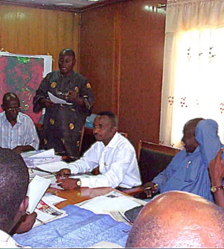
Consultancy Services
Our consultancy practice provides expert support across the geospatial and engineering value chain. We advise on project design, data interpretation, geospatial analysis, and infrastructure planning, ensuring clients get not just data, but meaningful, actionable insights.
From feasibility studies to quality assurance frameworks, we partner with organisations to optimise performance and reduce risks.
Why Clients Choose Waylink

Technical Excellence
Waylink is backed by decades of field experience and certified professionals.

Innovative
Tools
Equipped with Leica, South, Hi-Target, C-NAV, and Sonar Dyne systems for world-class precision.

Dependable
Delivery
On-time project completion, built on efficient workflows and clear communication.

Client
Partnership
Every project is a collaboration; your success is our measure of precision.
Industries We Serve

Energy, Oil & Gas

Construction & Infrastructure

Environmental & Marine

Government & Public Works

Real Estate & Development