Control Extension
Overview
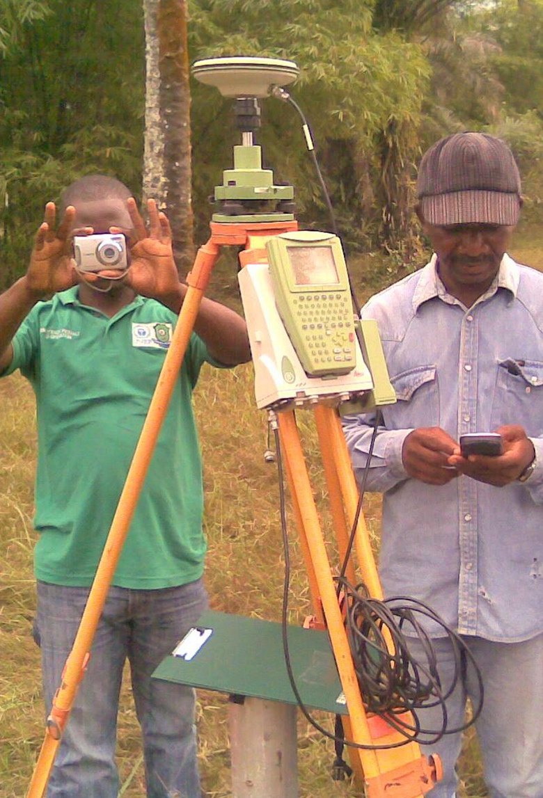
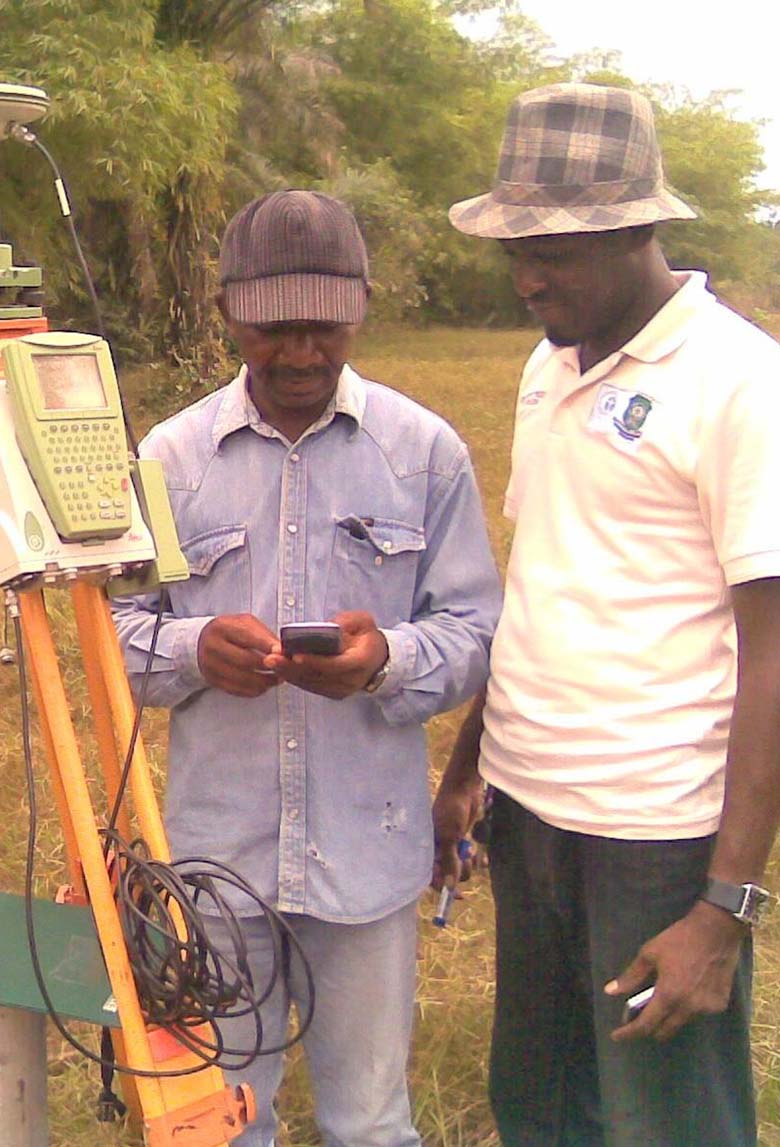
Every successful engineering or mapping project begins with accurate control. Waylink specialises in Control Extension, establishing and expanding geodetic networks that provide consistent reference points for all stages of surveying, design, and construction.
Our Capabilities
Horizontal and vertical control network establishment
Geodetic reference points for mapping and design
GPS/GNSS-based control extension for large projects
Integration of local control with global coordinate systems
Expertise
Our control networks ensure that data from multiple project teams, surveyors, engineers, and architects remains perfectly aligned.
Why it Matters
Control points are the invisible backbone of precision. We don’t just measure coordinates, we create the spatial framework that keeps every project aligned from start to finish.
Applications
Infrastructure and construction projects
Oil and gas installations
Topographic and cadastral mapping
Long-term geospatial monitoring