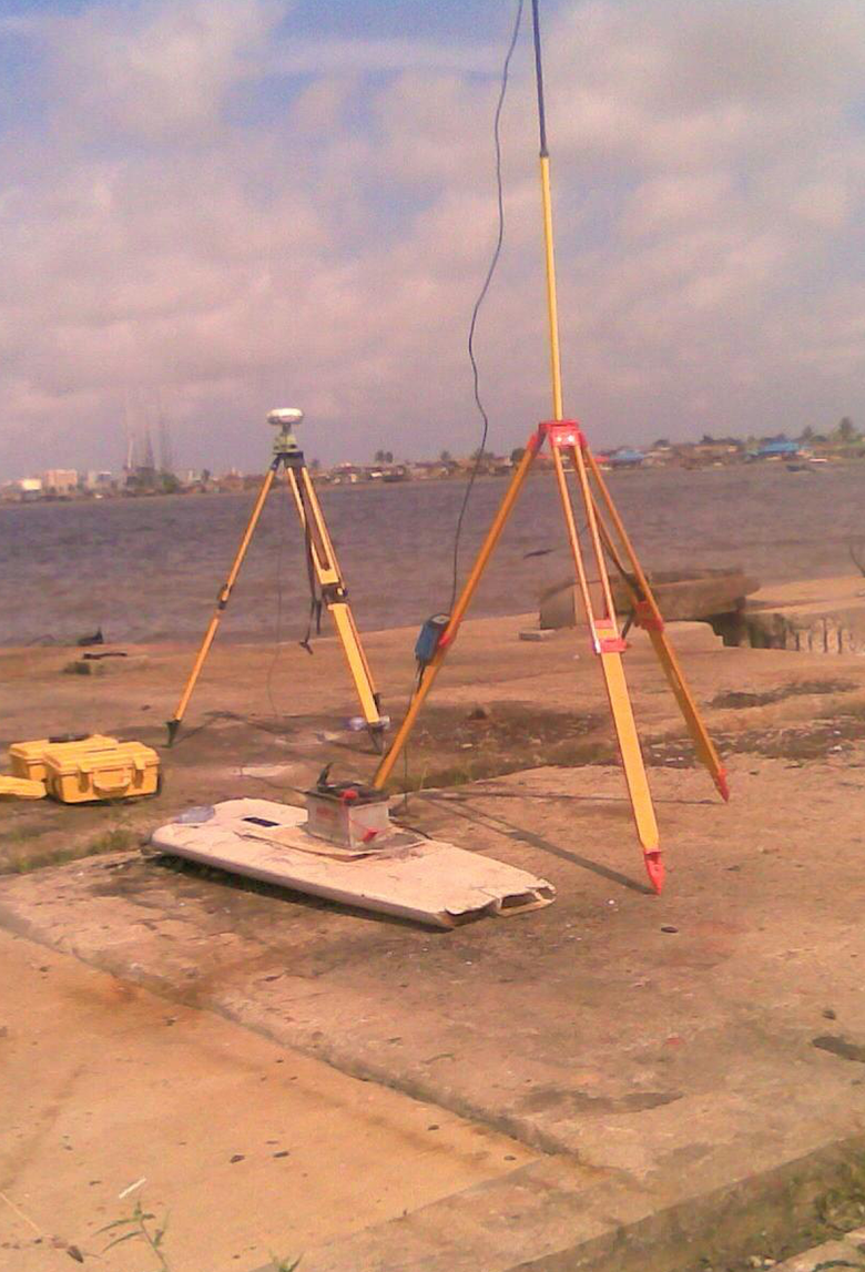
GIS Mapping
Overview
Data means little without context; that’s where GIS Mapping comes in. Waylink turns spatial data into powerful digital maps that help clients plan, analyse, and manage assets more intelligently.
Our Capabilities
Base map and street guide production
Digital map conversion and updating
Map scanning, digitisation, and data integration
GIS database creation and analysis
Why it Matters
GIS connects the dots, literally. We help organisations visualise data spatially, revealing relationships, patterns, and insights that drive better decisions.
Applications
Urban and regional planning
Utility and asset management
Environmental impact analysis
Transportation and infrastructure development