Hydrographic Mapping
Overview
Understanding the seabed is the first step toward safe and successful offshore operations. Waylink provides comprehensive Hydrographic Mapping services that capture detailed data on underwater topography, seabed composition, and environmental conditions.
Our hydrographic surveys deliver the insights needed for navigation, engineering design, dredging, and environmental assessment, turning raw marine data into usable intelligence.
Our Capabilities
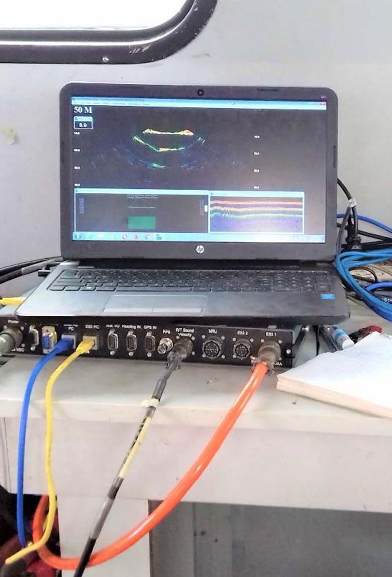
Multibeam and single-beam bathymetric surveys
Seabed and geohazard mapping
Sub-bottom profiling and sediment analysis
Current, temperature, and salinity measurements
Dredging and reclamation support
Expertise
We employ industry-standard tools like the EdgeTech X-Star Profiler, JW Fisher Side Scan Sonar, and Aanderaa Doppler Current Meters, ensuring precision from shallow coastal zones to deepwater environments.
Why It Matters
Hydrographic data forms the invisible map that every marine engineer and vessel captain relies on.
At Waylink, we make the unseen terrain visible, transforming uncertainty into actionable clarity.
Applications
Offshore energy development
Port and harbour maintenance
Pipeline route and drill site selection
Environmental impact assessment