Topographic Survey
Overview
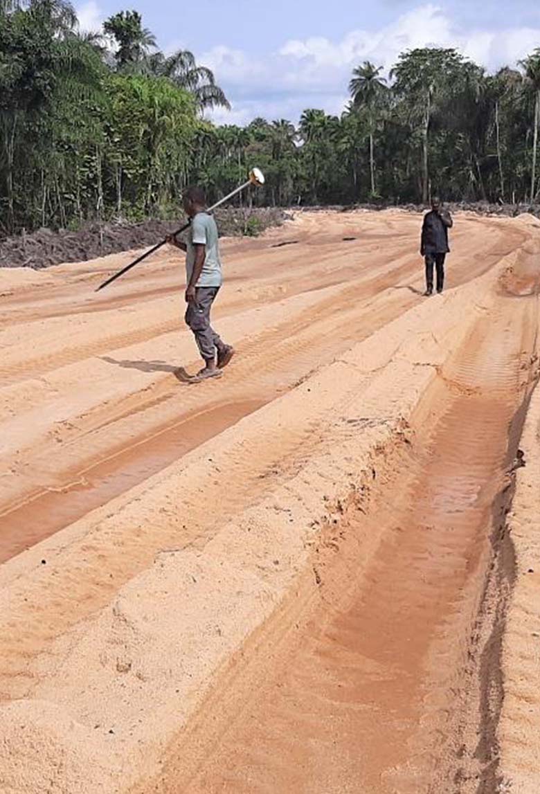
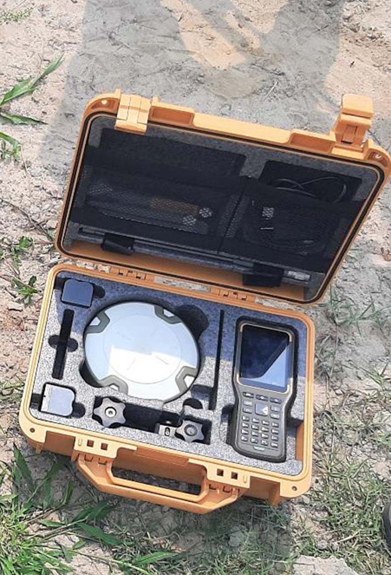
Topographic surveys are the blueprint of the land. Waylink delivers high-accuracy topographic mapping services that reveal the contours, features, and terrain essential for planning and design.
Our Capabilities
Digital terrain and contour mapping
Quantity determination for dredging and reclamation
Mapping of surface and underground structures
Detailed elevation and cross-section analysis
Why it Matters
A detailed understanding of the land ensures smarter designs, safer construction, and more sustainable development. We help clients see the ground before they break it.
Applications
Urban planning and infrastructure design
Flood risk and land reclamation assessment
Real estate and boundary documentation
Environmental and resource management